Challenge
Locus Algorithms
Start Date
November 1st, 2019
End Date
October 31st, 2022
R&D Project Details
ABOUT
The EU-funded LOCUS project aims to improve the functionality of 5G infrastructures, to provide accurate and ubiquitous location information, and derive more complex features and behavioral patterns out of raw location and physical events.
PROJECT OBJECTIVES AND HIGHLIGHTS
The main objectives of the project are:
- Provision of accurate positioning information as a network-native service
- Derivation of more complex features and behavioral patterns out of raw location and physical events
- Positioning information together with analytics, and their combined provision “as a service”, through simple interfaces to 3rd parties/ applications, enabled by a state-of-the-art LOCUS Platform.
- Showcasing solutions grouped in three Proof of Concept (PoC) scenarios: Smart Network Management based on Location Information of 5G equipment; Network-assisted Self-driving Objects; People Mobility & Flow Monitoring.
WHAT WE HAVE ACHIEVED/OUR ROLE
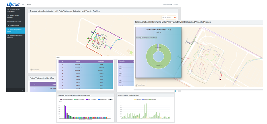
Incelligent as the leader of the Platform architecture activities is a main contributor in terms of design and implementation of the LOCUS Platform that has successfully showcased its efficiency in managing and exploiting localization information with increased accuracy offered by 5G. This allows for smarter, efficient network management of mobile operator networks, as well as for more targeted, vertical applications. Additionally, Incelligent led the activities of “People Mobility & Flow Monitoring” and contributed in “Smart Network Management based on Location Information of 5G equipment” PoCs.
Overall, we have extended our suite for Telecom operators with localization technologies, location-based enablers and APIs designed and validated through LOCUS. This mainly involves various mechanisms for ingestion and appropriate geo-tagging and enrichment of data, cell classification through geospatial correlations, mobility patterns and trajectories identification, etc., all of them to be used for supporting subscriber mobility and marketing-oriented -among others- use cases.
PARTNERS/TEAM
- Consorzio Nazionale Interuniversitario per le Telecomunicazioni,
- Ericsson AB,
- Ericsson Telecomunicazioni S.p.A.,
- IBM Ireland,
- NEC Laboratories Europe GmbH,
- Orange,
- OTE Hellenic Telecommunications Organization S.A.,
- Samsung,
- VIAVI Solutions SAS,
- Nextworks,
- IMDEA Networks,
- University of Malaga