CHALLENGE
Visualization and analysis on top of Big Data (network and non-network) from multiple sources, where knowledge of position and time allows for extraction of space-time dependent insights
INSIGHT
Generating knowledge and reports through the spatio-temporal fusion of position- and time- related data and exploitation of aggregated KPI(s)/ metadata information as well as advanced big data analytics and ML/AI-based results for supporting optimal decisions.
TECH/SOLUTION
Incelligent’s GIS – GeoAnalytics Platform, a standalone component which is also part of the RAN.ai suite of solutions for improving telecom RAN operations.
Enabling Geospatial Insights on top of Big
(Network and Non-Network) data
Incelligent
DESCRIPTION WHAT WE HAVE DONE/ACHIEVED
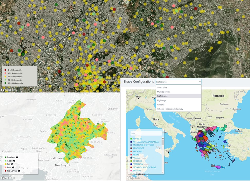
We have created a platform that delivers advanced GeoAnalytics and enhanced monitoring and visualization of both historical and near real-time Big Data that are accompanied with metadata information like the location of an entity and time of a given location/measurement. In this context, it enables the spatiotemporal fusion of the information so that the various KPIs and advanced analytics can be represented on top of a map for any given time/timeframe chosen by the user of the tool and where a value, color and/or label can be assigned at level of (a) a point (specific entity), (b) a smaller scale spatial bin (raster), or (c) a shape defined by multiple edges.
It has been deployed successfully as part of our RAN.ai solution in the premises of a Greek Telecom Operator and is being used by engineers and upper management for monitoring network performance, identifying area network quality profiles and supporting decision making.
For more information, download the solution’s factsheet (English & Greek version).
PARTNERS/TEAM
Incelligent Development & Product Team


